


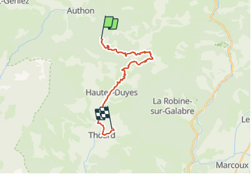

15.2 km | 28 km-effort


User GUIDE


FREE GPS app for hiking
 SityTrail
IGN / Geographical institutes
SityTrail World
The world is yours!
Trail Horseback riding of 19.6 km to be discovered at Provence-Alpes-Côte d'Azur, Alpes-de-Haute-Provence, Le Castellard-Mélan. This trail is proposed by holtzv.
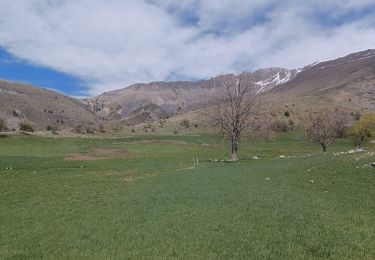
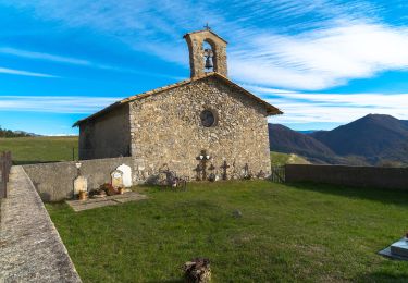
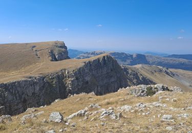
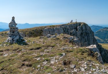
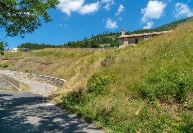
Col de Fontbelle vers Thoard (6h)
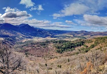
Pour gagner Thoard, dirigez vous vers le col d’Ainac par la piste forestière qui s’ouvre sur la vallée de Thoard bleutée par les lavandes.
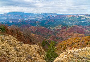
Le sentier de petite randonnée vous ramène par le fond de la vallée des Duyes à Auribeau avant de descendre sur le village de Thoard par la route.

Walking

Walking
Walking
Walking
On foot
Walking
Walking
Walking
Walking